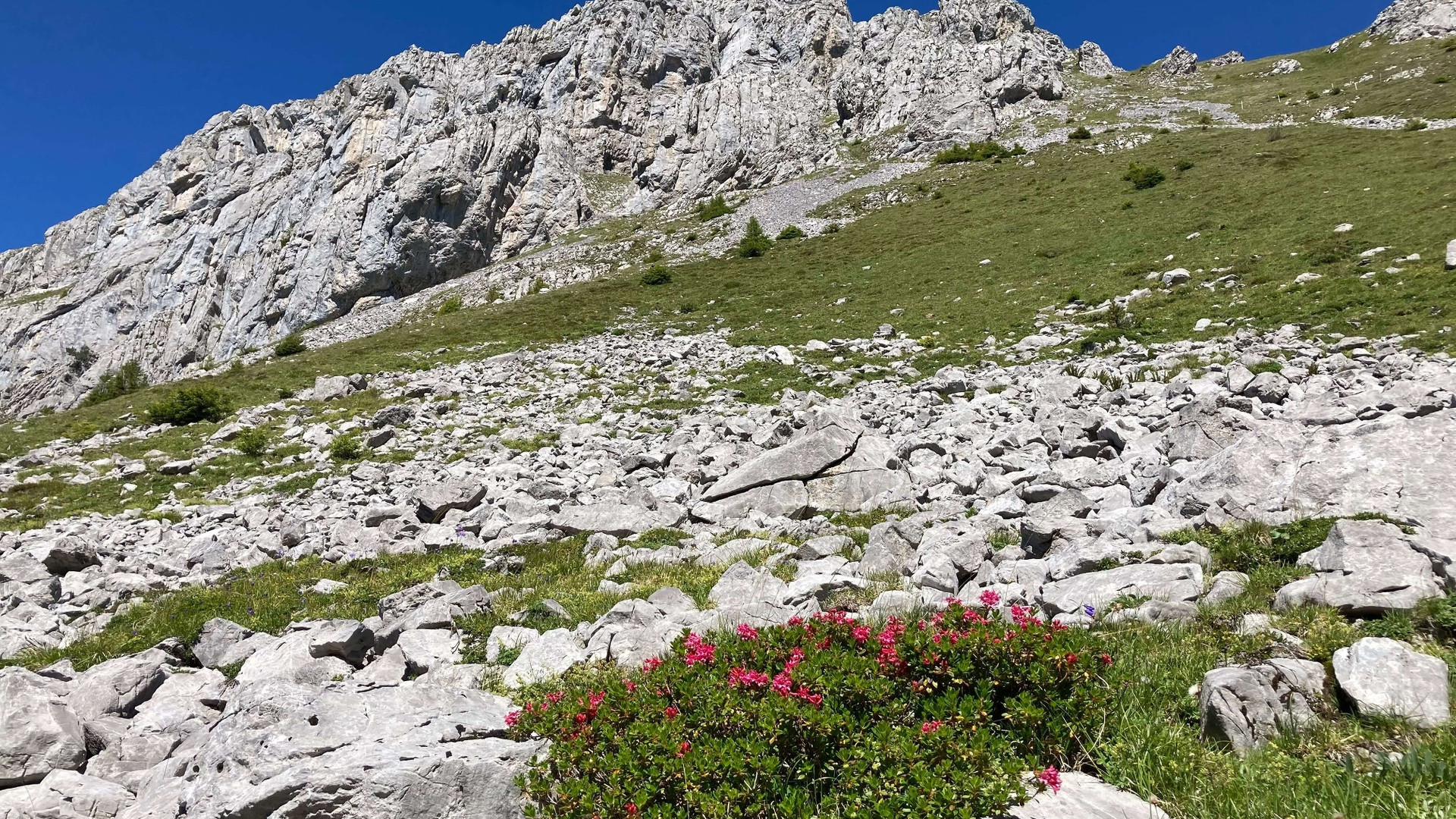
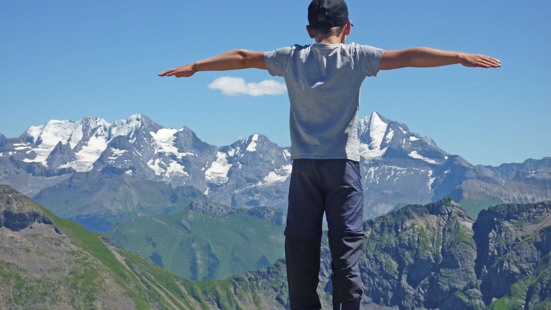
The geological trail leads around the Wiriehorn and shows the history of the formation of this landscape. It conveys interesting facts about mountain and valley, glacier and water, rock and stone.
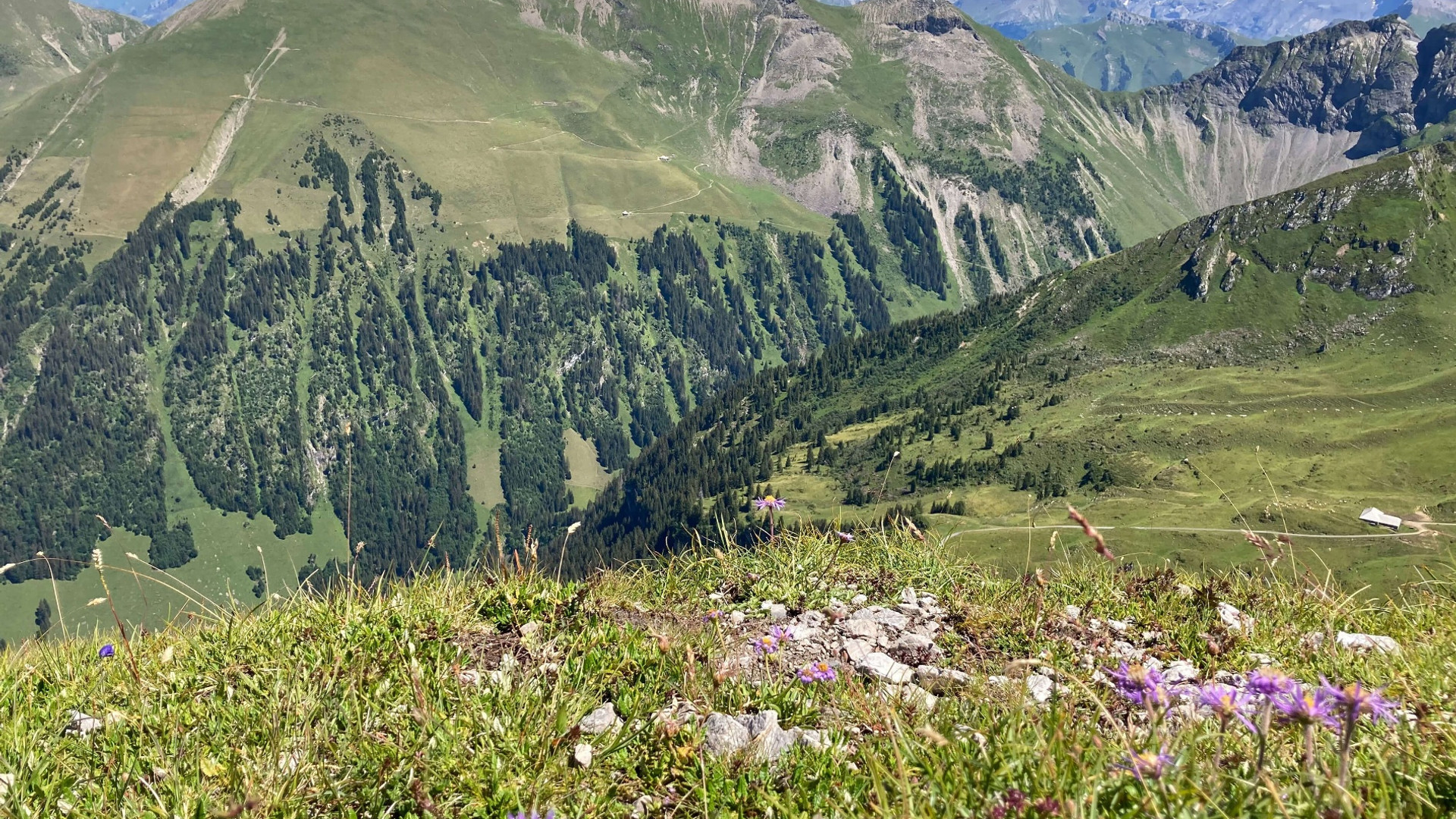
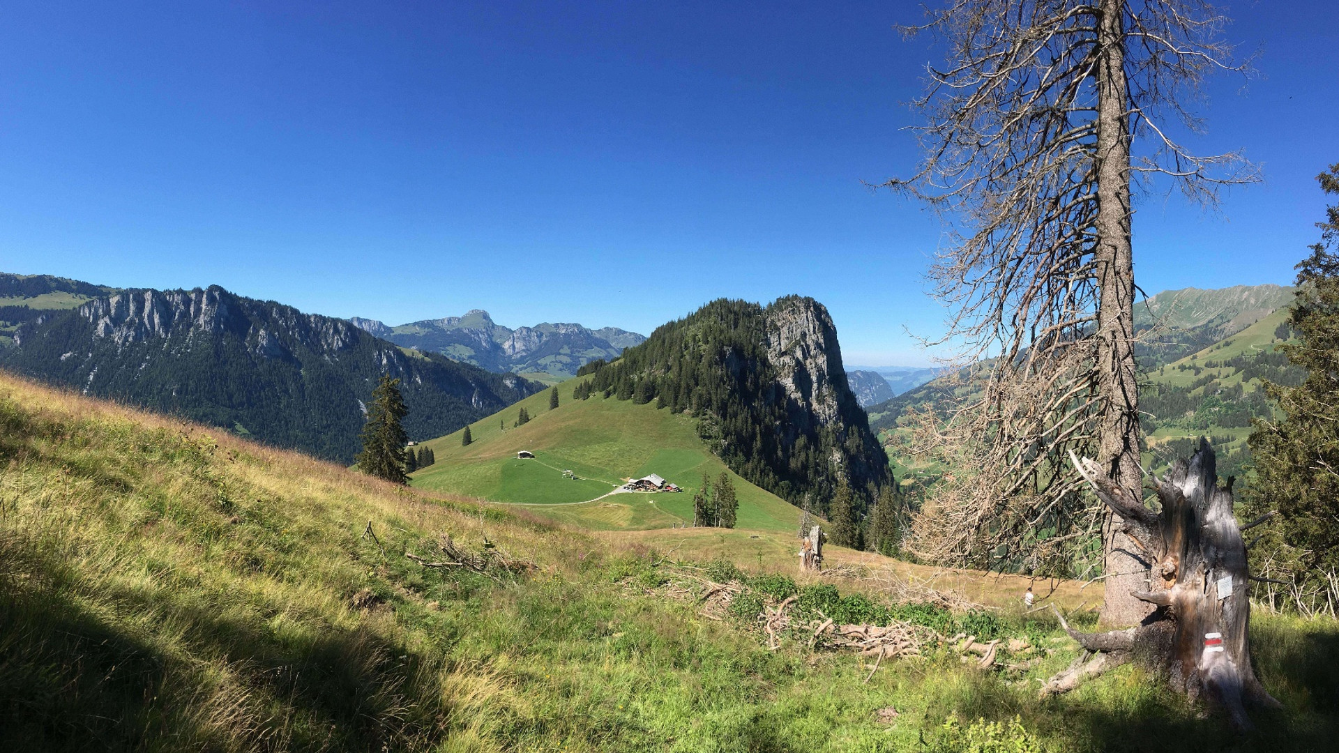
The landscape in the Diemtigtal was formed, moved, layered and eroded again over millions of years. How does a cultural landscape with grazing cows emerge from a sea? How did the Wiriehorn get its typical shape? Whose traces of earlier times are still visible in the terrain today?
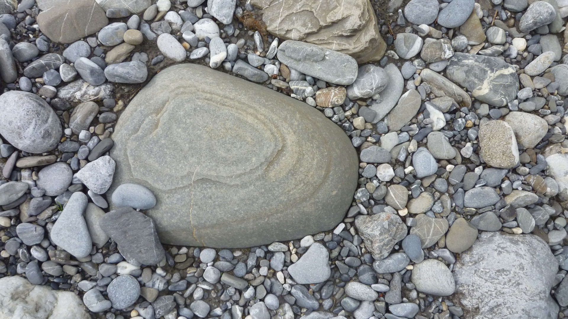
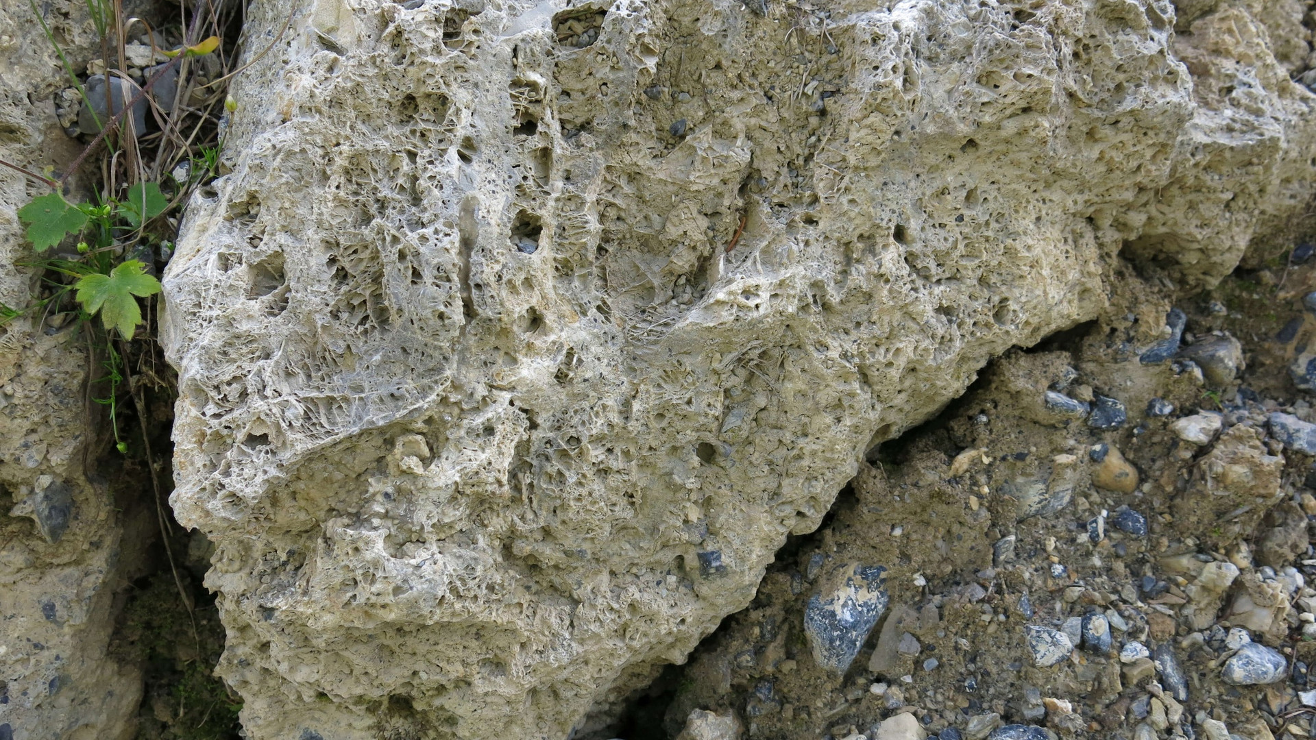
The rock of the Wiriehorn is very old, it was formed around 240 million years ago. That is, during the time when dinosaurs also lived on our planet. 240 million years ago, large areas were covered by a sea. Dead plants, mussels and shells were deposited on the seabed. They mixed with minerals, solidified and became stone. Later – during the formation of the Alps – the rock was lifted and moved here. Today it forms the summit of the Wiriehorn.
More exciting questions and answers await you on the geological trail around the Wiriehorn (information booklet only available in German).